Author: admin
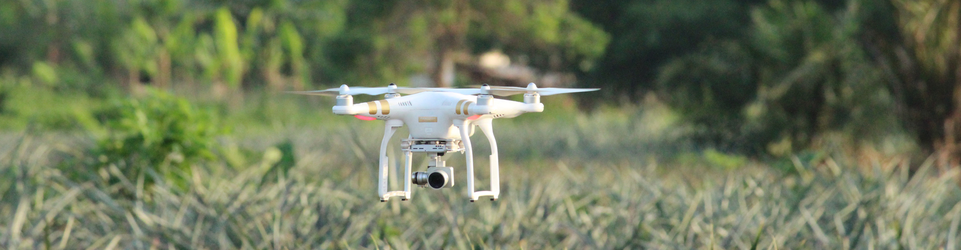
DRONES AND ARTIFICIAL INTELLIGENCE FOR PRECISION AGRICULTURE
In Benin, nearly 70% of the population directly or indirectly depends on agriculture. To increase the contribution of the agricultural sector to Benin’s economy, the government has developed a strategic plan that promotes the development of key agricultural value chains among which pineapple. Pineapple is the major fruit crop and […]

UAS Regulations in Benin
The Agence Nationale de l’Aviation Civile (ANAC) regulation governing the use of drones in Benin is composed of two pieces: Décision portant adoption de la réglementation technique relative à l’utilisation des aéronef télépilotés available here Procedure d’Application de la réglementation technique relative à l’utilisation des aéronef télépilotés available here
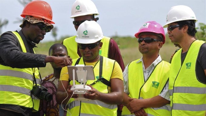
Global Partners training Malagasy in the use of UAS towards national development
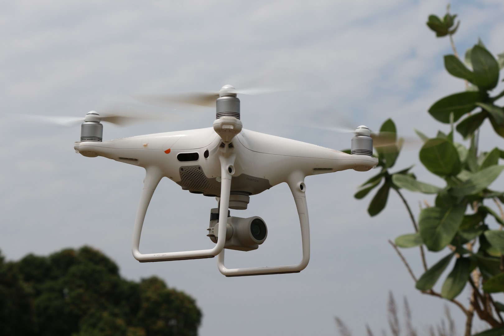
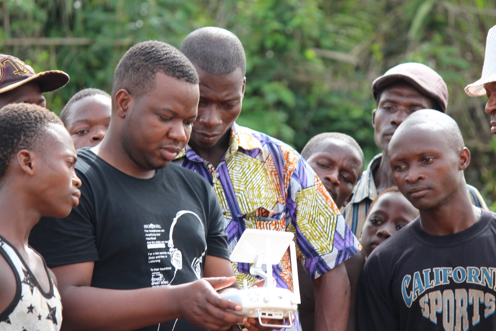
Recognizing the opportunities drones provide for agriculture, CTA launched the project Transforming African Agriculture: Eyes in the Sky, Smart Techs on the Ground in 2016 to provide technical assistance to start-ups across Africa. Unmanned aerial systems (UAS) are playing an increasingly prevalent role in precision agriculture. The technology provides farmers […]

Drone Academy: Providing Africa’s drone pilots with the knowledge and skills needed to use drones safely
With decision EX.CL/Dec. 986-1007 (XXXII), the African Union (AU) has established one of the most important incentives for its member states – to use drones to boost Africa’s development and accelerate transformation on the continent. Indeed, drones have been used to solve many development problems in the fields of agriculture, […]
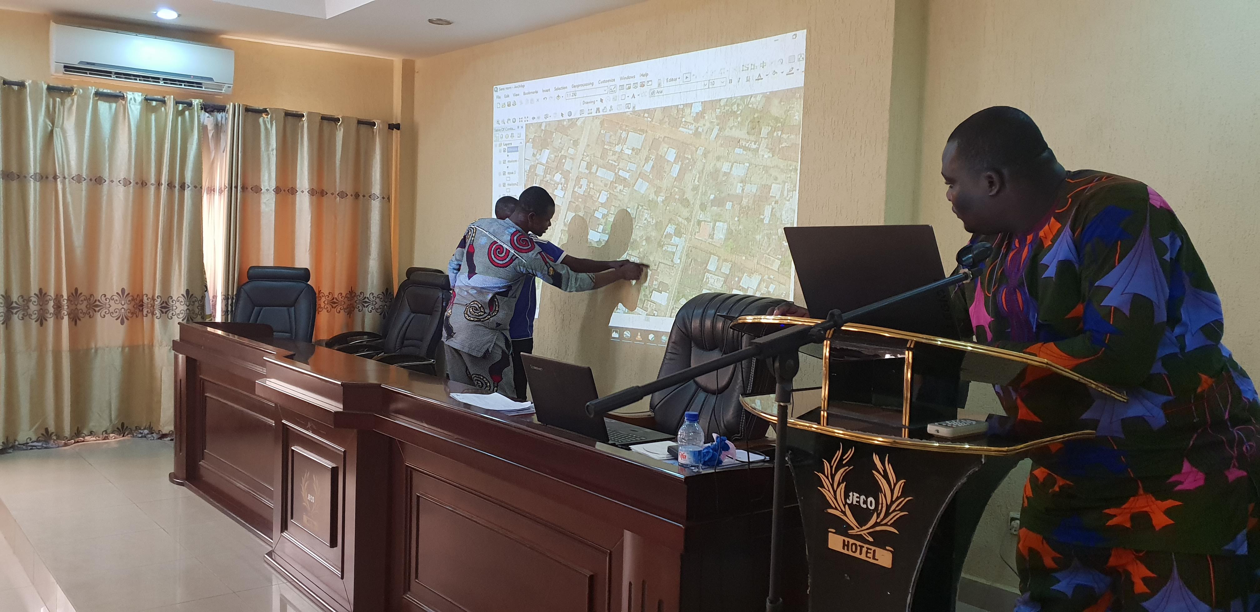
Digital Image Classification: Machine Learning and Drone for Urban Planning
From October 21 to 24, a team of Benin Flying collected aerial images of the town of Dassa. More than 20GB of georeferenced images were collected. They were stitched to produce an orthomosaic map of the town. This map is condensed but contains valuable information that can provide useful insights […]
Test des systèmes de drone pour la cartographie, le suivi écologique et la surveillance des sites de la Réserve de Biosphère Transfrontalière du Delta du Mono (RBT Mono)
Contexte Le projet Réserve de Biosphère Transfrontalière du Delta du Mono (RBT) a pour objectif d’appuyer la gestion et l’utilisation durable des ressources naturelles dans le Bas Mono au Bénin et au Togo. Situé entre le Benin et le Togo sur le delta du fleuve Mono, qui lui-même constitue en […]
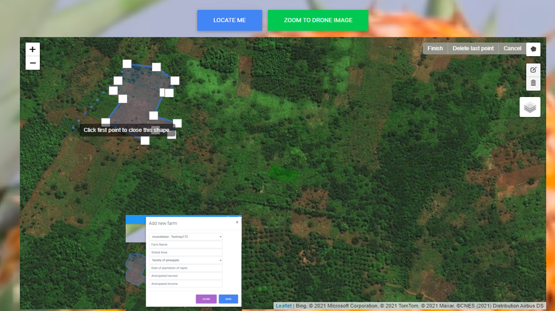
Exploration de l’adoption des drones en agriculture au Bénin: perceptions et consentement à payer des petits producteurs pour les services de drones
L’utilisation des drones au Benin Au Bénin l’agriculture constitue un secteur stratégique pour le développement économique et social eu égard à sa contribution au Produit Intérieur Brut et à la création d’emplois. Le secteur présente cependant de grandes limites notamment les faibles productivités et production des filières agricoles prioritaires, la […]