Tag: Machine Learning
Digital Image Classification: Machine Learning and Drone for Urban Planning
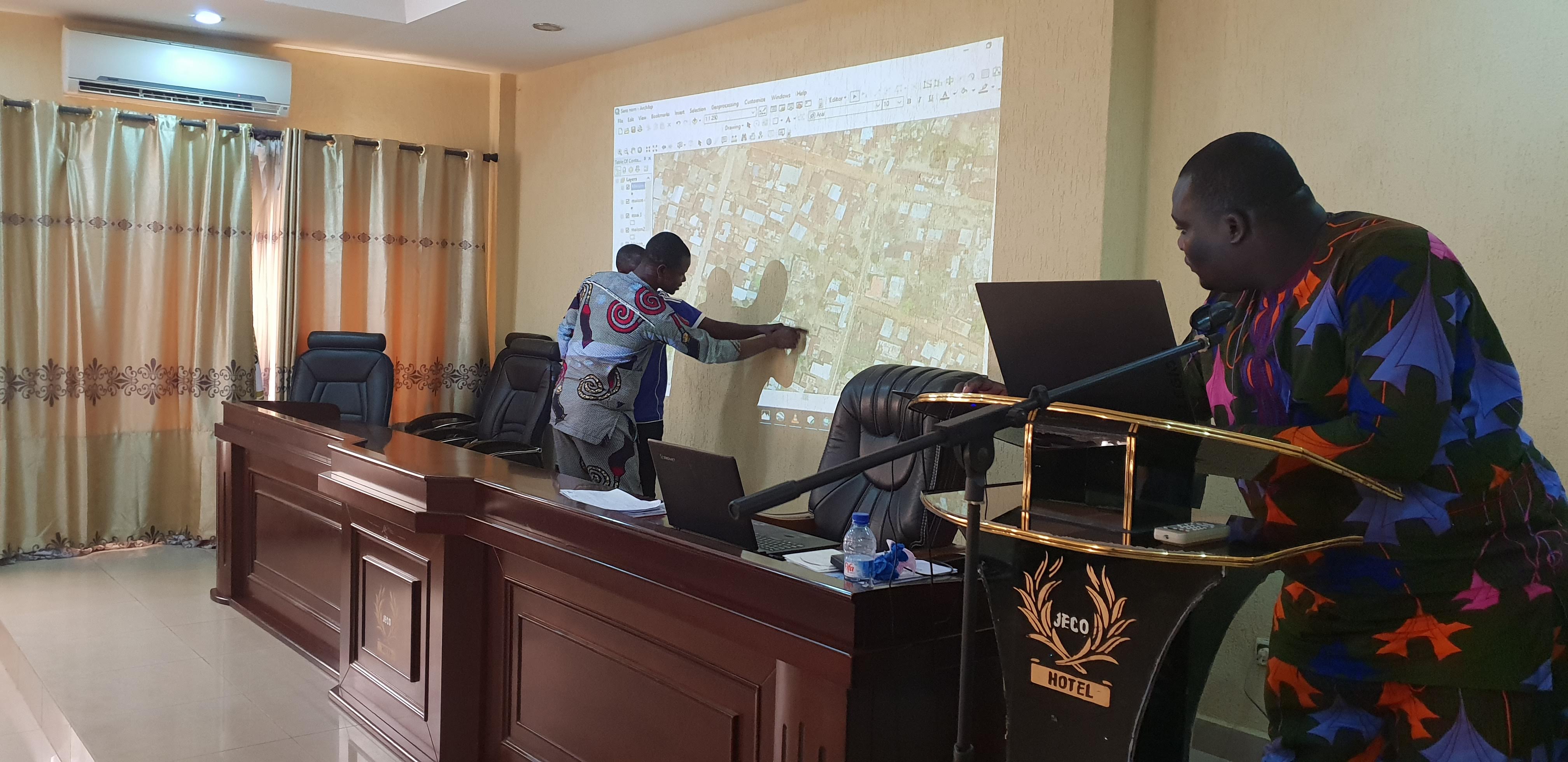
From October 21 to 24, a team of Benin Flying collected aerial images of the town of Dassa. More than 20GB of georeferenced images were collected. They were stitched to produce an orthomosaic map of the town. This map is condensed but contains valuable information that can provide useful insights […]
