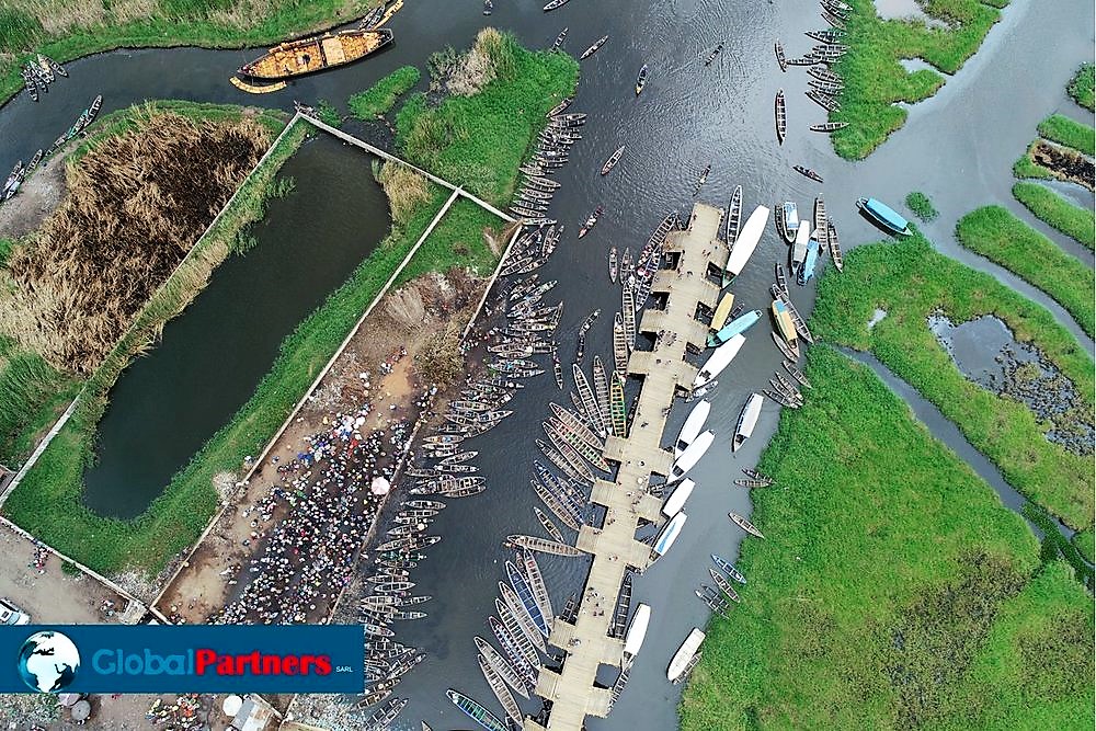
We provide highly precise photographic dataset, ready for topographic analysis. Our services include:
- Point clouds and digital surface model,
- Photogrammetry: orthophotos, 3D models, contour maps
- 0.1’ accuracy on land survey projects
- Analytics/metrics such volumes of material, slope, locations of undulations or hazards, water flow, cost estimates, …
